


Newbury And Wantage Map
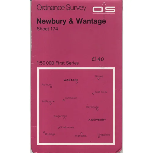
Publisher: Ordnance Survey
Format: Paperback
ISBN: none
Ah, the esteemed "Newbury and Wantage Map" from the illustrious Ordnance Survey, published in the charmingly bygone year of 1974. A time when bell-bottoms reigned supreme, and every home was graced with at least one lava lamp. This map, which I can only assume was printed on the finest recycled paper available at the time—probably sourced from the remnants of unsold vinyl records—captures not just geography, but an entire zeitgeist. If you’ve ever wanted to navigate the thrilling terrain of Newbury and Wantage, this delightful relic will guide you with the utmost precision, assuming you can decipher its intricate lines and symbols through the haze of time.
But let’s be real: who needs GPS when you have this vintage cartographic masterpiece? With its charmingly outdated design, this map is an invitation to throw your smartphone into the nearest hedge and embrace the rustic art of “getting lost.” Forget the straightforward streets and roundabouts of modernity; this map dares to take you off the beaten path, leading you to hidden corners of Newbury and Wantage that you never knew existed. (Spoiler alert: many of them may be overgrown and inhabited by squirrels.)
This particular specimen is not merely a navigational tool; it is a portal into a world where the term ’road trip’ meant something entirely different. Imagine rolling through the picturesque English countryside in a vintage car, the wind ruffling your hair, and this map crinkled lovingly on your lap, each fold a testament to the adventures it has seen. How many cups of tea spilled upon its surface? How many arguments over directions? One can only speculate—and, quite frankly, it’s far more entertaining than actually reading it.
Now, about the condition. Condition: Used, obviously. The map has taken a few bumps and bruises along its journey, showing signs of wear that could only come from a lifetime of being stuffed into glove compartments or served at picnics as a makeshift tablecloth. There are creases that tell tales of its past, and perhaps a few coffee stains that could be mistaken for a modern art installation. If you look closely, you might even spot a ghostly outline of a forgotten itinerary—or, if you’re particularly lucky, the remnants of a particularly enthusiastic hedgehog’s doodles.
Let’s not forget its allure as a piece of décor. Hang it on your wall, and it will instantly elevate your living space to a level of quirky sophistication that screams, “I appreciate history, but ironically!” While your friends are busy discussing the latest trends in minimalist design, you’ll be the one proudly proclaiming, “I have a 1974 map that leads to nowhere in particular, and I like it that way!”
Plus, think of the conversation starters! It opens up a veritable Pandora’s box of topics, from the evolution of mapping technology to the idiosyncrasies of English town names. “Why is Wantage called Wantage?” you can ponder aloud, looking significantly more insightful than you truly are. It’s the perfect icebreaker for that awkward moment at a dinner party when the small talk begins to dry up.
In summary, if you have ever felt the urge to explore Newbury and Wantage without the burden of modern technology or the constraints of logic, this map is your ticket to adventure—or at least a splendid conversation piece. Grab it while it’s still available at Crappy Old Books, where the only thing more outdated than this map are the jokes we make about it.
Keep browsing: See more Maps books Other books by Ordnance Survey
